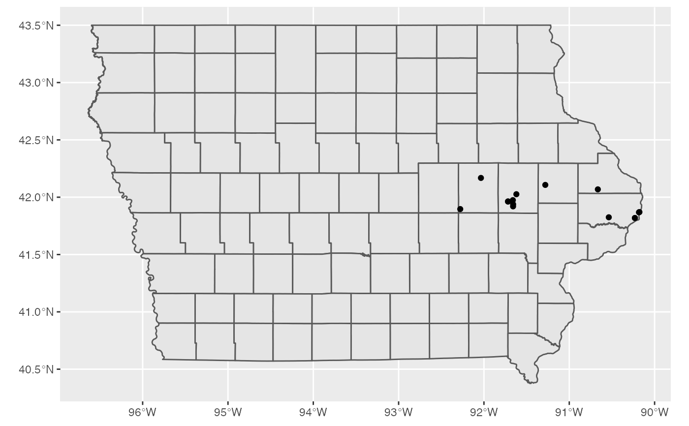
Location of ASAC (Area Substance Abuse Counseling) in Iowa
asac_locations.RdDataset was scraped from the ASAC website. This database contains ASAC location data for the State of Iowa
- name
Name of the facility
- address
Street Address for the facility
- city_state_zip
City, State, and Zip contained in one column separated by a space
- city
Name of the city where the facility is located
- zip
5 digit Zip
- state
State Abbreviation
- search_address
address used in the Google API geocoding
- geometry
sf object of geographic locations
- classification
column used for identification for filtering
asac_locations
Format
An object of class sf (inherits from data.frame) with 15 rows and 9 columns.
Source
http://www.asac.us/about/locations/
Examples
library(ggplot2) library(dplyr) asac_locations %>% ggplot() + geom_sf(data = ia_counties) + # iowa county shapes geom_sf() # add pointslibrary(leaflet) library(sf) asac_locations %>% leaflet() %>% addTiles() %>% addPolygons(data = ia_counties, weight = 1, color="#333333") %>% addCircleMarkers(radius = 1, stroke = 0.1, label=~name)