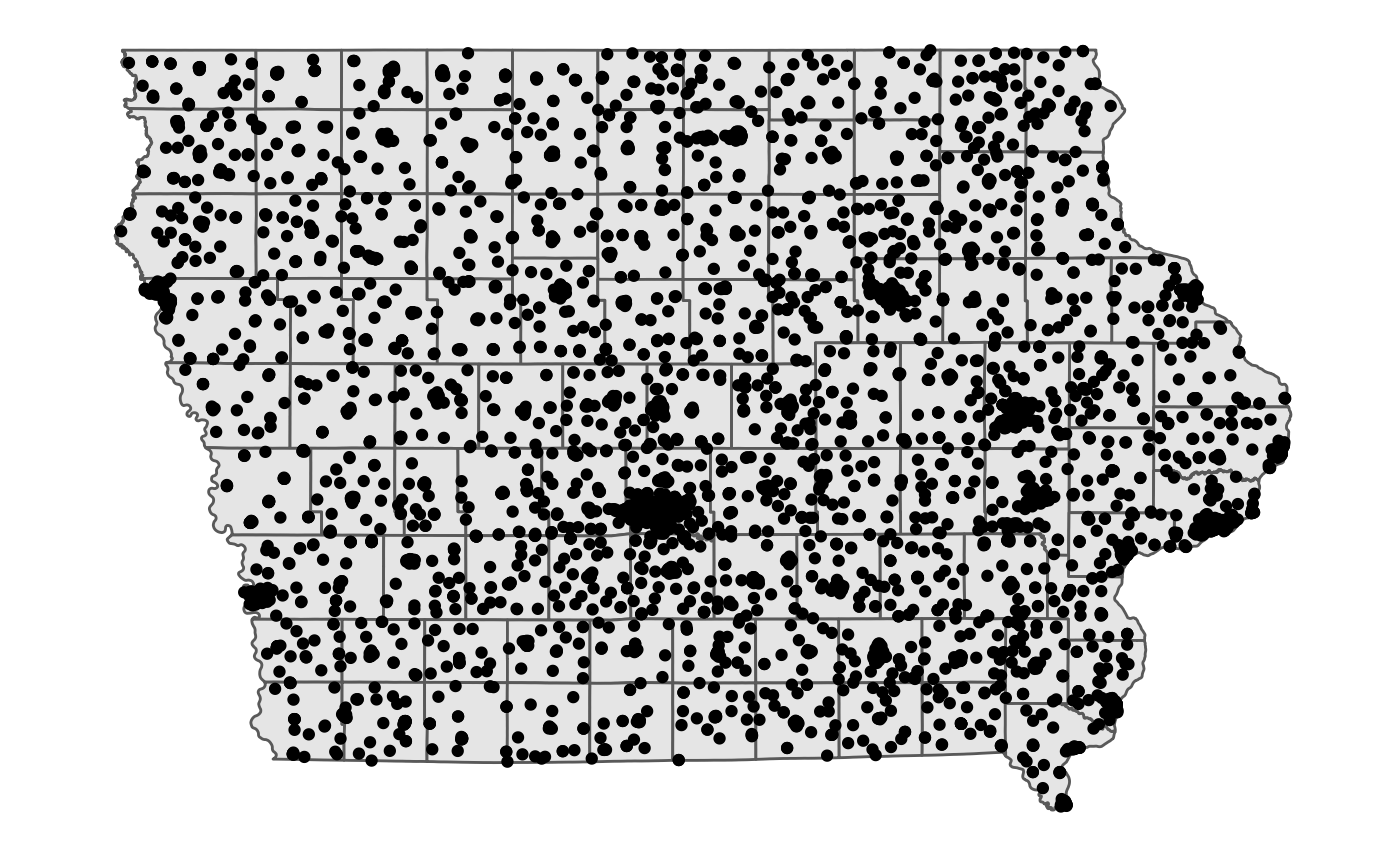
Location of churches in Iowa
churches.RdDataset was scraped by Masoud Nosrati from the IA Hometown Locator in Mar 2020.
churches
Format
A data frame with 5469 rows and 9 variables:
- name
name of the church
- description
closer description of the location, if available
- county
name of the county
- geometry
sf point object of geographic locations of churches in Iowa.
- classification
column used for classifying the data set
Source
https://iowa.hometownlocator.com/features/cultural,class,church.cfm
Examples
# Map of churches in Story county using ggplot2 library(ggplot2) library(dplyr) # for the pipe churches %>% # filter(county == "Story county) %>% ggplot() + geom_sf(data = ia_counties) + geom_sf() + ggthemes::theme_map()# leaflet map library(leaflet) library(sf) churches %>% leaflet() %>% addTiles() %>% setView(-93.6498803, 42.0275751, zoom = 8) %>% addPolygons(data = ia_counties, weight = 1, color="#333333") %>% addCircleMarkers(radius = 1, stroke = 0.1, label = ~name, clusterOptions = markerClusterOptions())