This dataset consists of all named physical and cultural geographic features in Iowa that are part of the Geographic Names Information System (GNIS) as developed by the US Geological Survey. The data was downloaded from the Iowa Data Portal in July 2020. It encompasses various aspects of Iowa's infrastructure, including hospital buildings and parks.

ia_features

Format

A data frame with 40,473 rows and 11 variables:

name

Official feature name as defined in INCITS 446-2008.

class

Type of feature, one of Airport, Arch, Area, Bar, Bay, Beach, Bend, Bridge, Building, Canal, Cape, Cemetery, Census, Channel, Church, Civil, Cliff, Crossing, Dam, Falls, Flat, Forest, Gut, Harbor, Hospital, Island, Lake, Levee, Locale, Military, Mine, Oilfield, Park, Pillar, Plain, Populated Place, Post Office, Range, Reserve, Reservoir, Ridge, School, Spring, Stream, Summit, Swamp, Tower, Trail, Tunnel, Valley, and Woods..

state

state abbreviation

county

County of the primary location of the feature.

elevation_m

Elevation in meters above sea level of the feature.

elevation_ft

Elevation in feet above sea level of the feature.

usgs_map_name

Name of the location of the building

date_created

Date that the feature was added to the database

date_edited

Date at which the record was last updated

geometry

sf point object of geographic location

Source

https://data.iowa.gov/Physical-Geography/Iowa-Physical-and-Cultural-Geographic-Features/uedc-2fk7

Examples

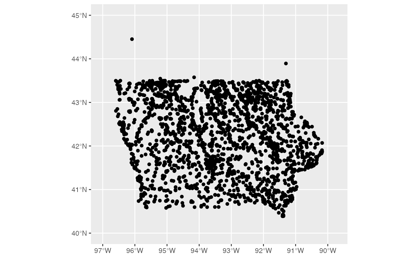
library(dplyr) library(ggplot2) ia_features %>% filter(class == "Park") %>% ggplot() + geom_sf() + xlim(c(-97,-89.75)) + ylim(c(40, 45))
# The Bridges of Madison County library(leaflet) library(sf) ia_features %>% filter(county == "Madison", class == "Bridge") %>% leaflet() %>% addTiles() %>% setView(-94.0530854, 41.3409121, zoom = 9) %>% # addPolygons(data = ia_counties, # weight = 1, color="#333333") %>% addCircleMarkers(radius = 1, stroke = 0.1, label=~name) # Leaflet map of top ten feature maps in Iowa topten <- ia_features %>% count(class) %>% arrange(desc(n)) %>% head(10)
#> although coordinates are longitude/latitude, st_union assumes that they are planar
pal <- colorFactor( palette=RColorBrewer::brewer.pal(n=10, name="Paired"), domain = topten$class ) ia_features %>% filter(class %in% topten$class) %>% leaflet() %>% addTiles() %>% setView(-94, 42, zoom = 6) %>% addPolygons(data = ia_counties, weight = 1, color="#333333") %>% addCircleMarkers(radius = .5, stroke = 0.1, color =~pal(class), label=~class) %>% addLegend(pal = pal, values = topten$class) # Iowa is flat. Is it? Yes, but ... elev_pal <- colorNumeric( palette="Blues", domain = c(0,600), reverse=TRUE ) ia_features %>% filter(class %in% topten$class) %>% leaflet() %>% addTiles() %>% setView(-94, 42, zoom = 6) %>% addPolygons(data = ia_counties, weight = 1, color="#333333") %>% addCircleMarkers(radius = .5, stroke = 0.1, color =~elev_pal(elevation_m), label=~name) %>% addLegend(pal=elev_pal, values=c(0,600))